Marine physics
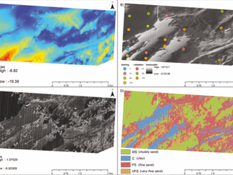
Seafloor mapping based on multibeam echosounder bathymetry and backscatter data using Object-Based Image Analysis: a case study from the Rewal site, the Southern Baltic
Seafloor mapping is a fast developing multidisciplinary branch of oceanology that combines geophysics, geostatistics, sedimentology and ecology. One of its objectives is to isolate distinct seabed features in a repeatable, fast and objective way, taking […]
